
In the early hours of July 7, 2026, a Falcon 9 lifted off from Vandenberg Space Force Base carrying not one customer's satellite but 81 of them, a shared ride to orbit under SpaceX's Transporter program. The booster, B1097, was flying for the 11th time and came back down about 8.5 minutes later on the droneship "Of Course I Still Love You," parked in the Pacific — the ship's 208th successful landing and the 634th for SpaceX overall, according to Spaceflight Now's live coverage of the mission.
Transporter-17 launched at 3:12 a.m. ET into sun-synchronous orbit, the workhorse altitude-and-inclination combination that Earth-observation and remote-sensing operators favor because it lets a satellite pass over the same patch of ground at the same local time every day. The manifest, per Spaceflight Now's coverage, included several of Muon Space's FireSat wildfire-detection satellites, built for the nonprofit Earth Fire Alliance, and SPEAR-1, a satellite developed by NearSpace Launch under a contract with the Naval Research Laboratory. But buried in that list of 81 were two small technology demonstrators with outsized ambitions for their size: GRITSS and MAVERIC.
A CubeSat That Wants to Fix Geodesy's Millimeter Problem
GRITSS — the Geodetic Reference Instrument Transponder for Small Satellites — is not trying to observe Earth so much as help scientists measure it more precisely. Geodesists rely on a patchwork of ground-based techniques to nail down the planet's exact shape and the precise locations of reference stations: GNSS receivers, Very Long Baseline Interferometry (VLBI) radio telescope arrays, and Satellite Laser Ranging stations that bounce lasers off orbiting reflectors. The trouble is that these different instruments are often installed at slightly different physical spots on the same site, and reconciling their measurements requires a correction known as a "site tie" — one that can carry millimeter-level errors baked in from old-fashioned surveying.
GRITSS is designed to serve as a single, unified reference point in orbit that all three techniques can observe simultaneously, according to NASA's Earth Science and Technology Office, which funded the project. If it works, the satellite effectively removes the site-tie problem by giving GNSS, VLBI, and laser-ranging stations a common target rather than three separate ground markers to cross-reference. The mission is led by principal investigator Dr. Christopher Beaudoin, a principal radio frequency engineer at Draper Laboratory in Cambridge, Massachusetts, who previously worked at the University of Massachusetts Lowell and MIT's Haystack Observatory on the Event Horizon Telescope project — the global VLBI array that produced the first image of a black hole's shadow.
Millimeter-scale geodetic precision sounds like an academic nicety, but it underpins things far outside a lab: NASA's Earth Science and Technology Office lists tracking water resources, sea levels, vegetation, ice sheets, and land movement among the applications that depend on knowing exactly where the ground-based reference network sits, down to fractions of an inch.
Built by Students, Tested in Orbit
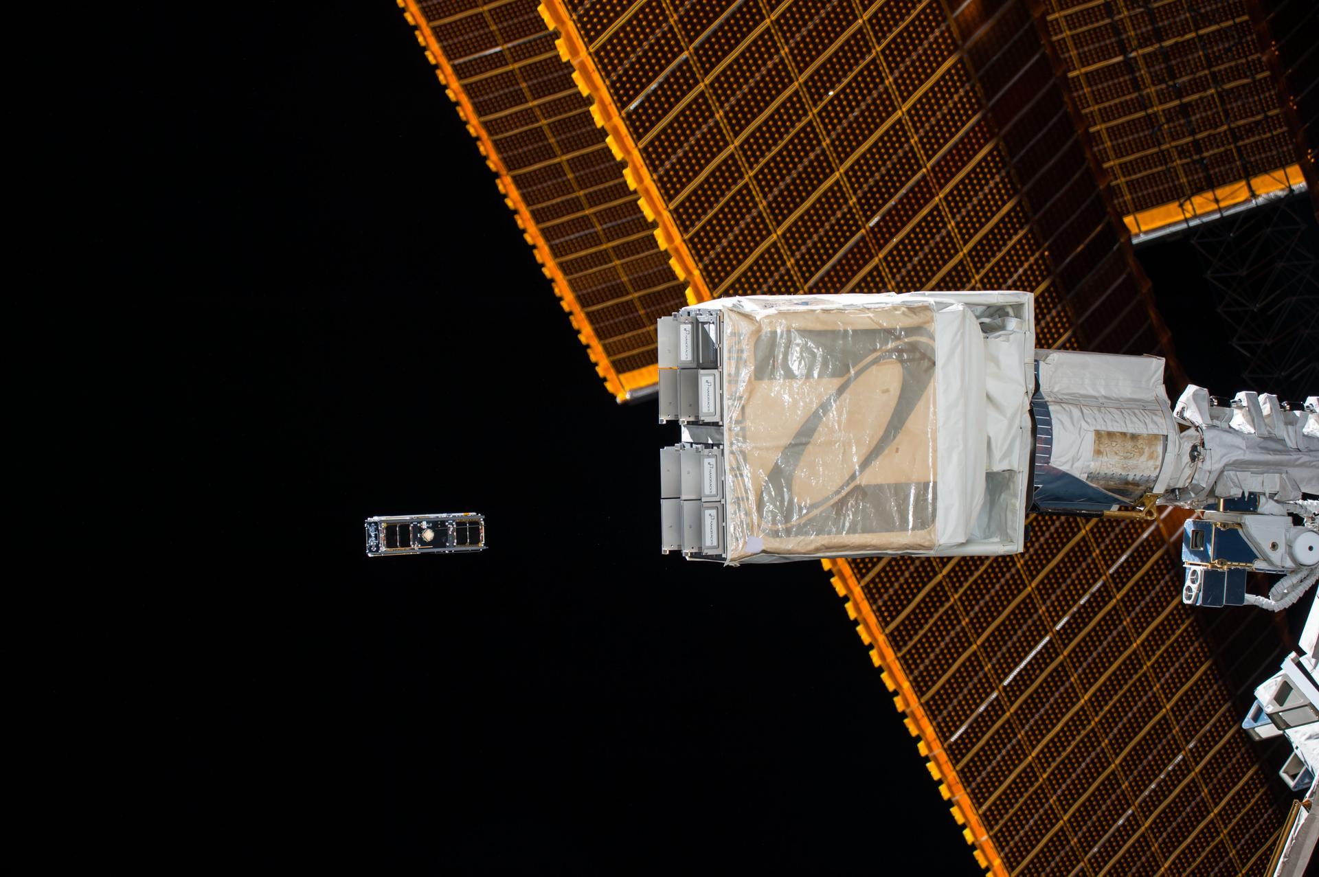
MAVERIC took a different path to the launch pad. The 3U CubeSat — a shoebox-sized craft assembled from three standard 10-centimeter cube units — was designed and built by students at the University of Southern California, working through USC's Information Sciences Institute and its Space Engineering Research Center.
Once in orbit, MAVERIC is intended to research magnetics in orbit, along with two additional technology payloads for 2D and 3D visualization and imaging displayed on an onboard LCD screen, according to USC's Space Engineering Research Center. Neither the magnetics research nor the imaging payloads have publicly detailed specifications beyond that description, but both are aimed at demonstrating capabilities for future space applications.
Neither GRITSS nor MAVERIC is a flashy mission on its own — no dramatic images of distant worlds, no headline-grabbing discovery. They're plumbing work: quietly testing the instruments and techniques that bigger missions will eventually depend on.
Why It Matters
Rideshare missions like Transporter-17 have become the default way small, budget-constrained science and technology-demonstration satellites reach orbit. A university team or a NASA-funded instrument developer doesn't need to charter an entire rocket or wait years for a dedicated slot on a larger mission — they book space alongside dozens of other payloads and split the cost of the ride. That access is precisely what let a student-built project like MAVERIC fly, and it's what let a niche but consequential geodesy instrument like GRITSS get off the ground without needing its own launch vehicle.
The underlying capabilities each satellite is testing also point toward broader trends in spaceflight. Precise geodetic reference points feed directly into the accuracy of GPS and other satellite navigation systems, as well as sea-level and land-movement monitoring, that modern infrastructure and climate science quietly depend on. MAVERIC's magnetics research and its 2D/3D imaging demonstration, meanwhile, are the kind of small, low-cost technology tests that let engineers validate new hardware in orbit before committing it to larger, more expensive missions. And the repeated, almost routine landing of a Falcon 9 booster — its 11th flight, the fleet's 634th total landing — is itself part of the story: that reliability and reusability is what makes flying 81 payloads on a single rocket economically viable in the first place, turning what would once have been 81 separate, expensive launch campaigns into one shared trip to orbit.
Sources
- GRITSS - NASA Earth Science and Technology Office
- MAVERIC - Space Engineering Research Center (USC/ISI)
- SpaceX launches 81 satellites to orbit from California, lands rocket on ship at sea | Space
- Fire detectors, military tech demos, 3D printers among SpaceX rideshare payloads launching on midnight Falcon 9 flight – Spaceflight Now