
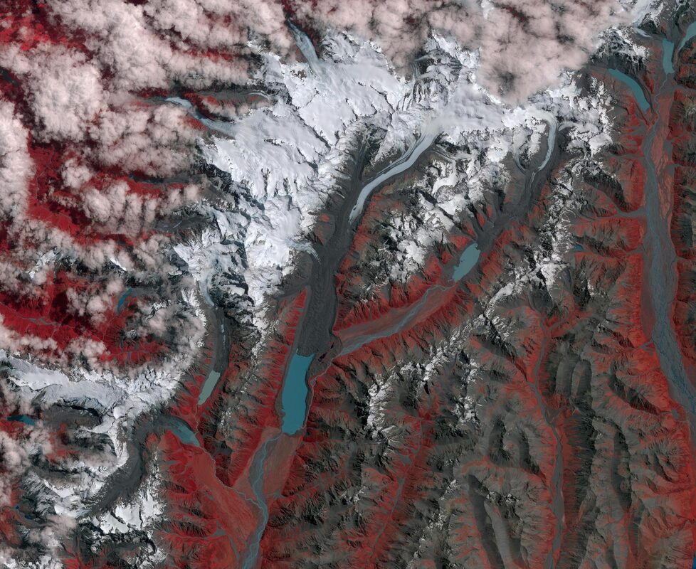
Two satellite images of the same mountaintop, taken 38 years apart, now look like pictures of two different places. On November 16, NASA Earth Observatory published a side-by-side comparison of Puncak Jaya, Indonesia's highest peak. One image comes from the Thematic Mapper on Landsat 5 in 1988. The other comes from the Operational Land Imager on Landsat 9 in 2026. In the first, ice caps several of the highest ridges. In the second, only a few small fragments of ice remain.
The measurements are just as stark. According to Donaldi Permana, a climate scientist at Indonesia's meteorology, climatology, and geophysics agency (BMKG), glaciers on Puncak Jaya covered about 4.31 square kilometers in 1988. By September 2025, satellite and aerial data showed about 0.09 square kilometers were left. That is roughly 2 percent of the 1988 area.
From ice cap to fragments
Area figures show only part of the loss, because a glacier can keep its outline while it thins from the top. The more telling number comes from the East Northwall Firn, where NASA's account says measurements at the primary monitoring site showed ice 32 meters thick in 2010 and 4 meters thick in 2023. By November 2024, the ice at that site was gone.
That works out to an average loss of a little more than 2 meters of thickness per year over 13 years. The last 4 meters then disappeared in the following months, by November 2024. A glacier that thin has little left to absorb a warm season.
The headline's phrase "too small to flow" refers to a basic property of glaciers. NASA notes that a body of ice generally has to be thick enough to flow downhill under its own weight, and it needs an area where snow builds up faster than it melts. Puncak Jaya's remaining ice has thinned and broken into patches so small and stagnant that it no longer flows. "While small ice remnants persist in high-altitude crevices around Puncak Jaya, their functional life as active glaciers is effectively over," Permana said.
A "house of cards problem"
The Earth Observatory piece says the breakup speeds up the loss. As the glaciers thin, they also break apart, and each new fragment adds exposed edges where ice can melt, compounding the losses. In the 2026 Landsat image, freshly uncovered bedrock appears between the remnants. Snow still falls in the area, but it does not last long enough on the bare rock to build up into new ice.
Chris Shuman, a retired University of Maryland glaciologist who has tracked Puncak Jaya's glaciers in satellite imagery, calls this a "house of cards problem." In his words, "Once this process gets going, there's really no turning back."
Measuring what is left
Satellites like Landsat have tracked the overall pattern for decades. Measuring ice this small needs closer work. NASA's article says an aerial survey planned for December should yield an estimate of how much ice remains in 2026.
Ground teams have also been documenting the summit. Project Pressure ran an expedition led by Klaus Thymann that built a 3D photogrammetry model of the remaining ice on the East Northwall of Puncak Jaya, accurate to the centimeter. The organization gives the summit height as 4,884 meters and notes that local people call the ice by a name meaning eternal snow, often translated in English as the "Eternity Glaciers." Given the measurements above, the name is now a painful one.
Records like these matter because the ice cannot be studied after it is gone. A centimeter-accurate model and a fresh aerial survey give scientists a fixed reference point for what remained.
A deadline measured in months
BMKG has already projected when the ice will be gone. As reported by Arab News, the agency says the glaciers are expected to disappear completely no later than 2026 or 2027, and the report describes the two remaining glaciers, the Carstenz Glacier and the East Northwall Firn, as having existed for around 5,000 years. If the projection holds, ice that lasted for thousands of years will be gone within a few years of the Landsat comparison.
The picture is not uniform. NASA says recent satellite studies suggest complete disappearance of the main glacial ice areas could occur around 2030, though BMKG estimates suggest it could be much sooner, hastened by the current El Niño. Project Pressure reports that the East Northwall Firn has decreased in area by approximately 95 percent since 2002 by its own calculations, yet has persisted beyond earlier published estimates of full retreat by 2025 or 2026. The monitoring site on that firn lost its ice by November 2024, but ice remained elsewhere on the mountain.
Why It Matters
The NASA piece notes that scientists have described these glaciers as high-altitude "canaries in the coal mine," alongside other tropical ice such as the remnants of Humboldt Glacier in Venezuela, Quelccaya Ice Cap in Peru, and the ice fields of Kilimanjaro in Tanzania. Positioned in the tropics beside the largest expanse of warm ocean water on Earth, the range's glaciers lie near the warmest conditions in which ice can survive year-round.
El Niño years have hit these glaciers especially hard. According to NASA, warmer air raises the freezing level above the summit, so precipitation falls as rain instead of snow. That leaves less reflective fresh snow and darker surfaces that absorb more heat. During the 2015-2016 El Niño, the ice thinned about five times faster than usual, losing roughly 5.3 meters of thickness in a single year.
The Puncak Jaya record is also a reminder of why long Earth-observing missions matter. The comparison works because Landsat 5 imaged the range in 1988 and Landsat 9 imaged it again in 2026, with false-color images that separate ice from exposed bedrock. Paired with ground measurements such as the thickness record at the East Northwall Firn, from 32 meters to 4 meters to nothing, the images turn a suspicion that the ice was shrinking into a measured trend.
Finally, the fragmentation that Shuman describes may also matter for small ice bodies elsewhere, since any ice that breaks into pieces gains exposed edges where it can melt. That is an inference, not a finding in the NASA article. What the article does document is that on Puncak Jaya, satellites have recorded the ice as it dwindled to patches too small to flow.