
NASA and IBM announced on September 10, 2026, the release of an open-source AI "foundation model" for lunar science — a single pre-trained system that scientists can adapt to a range of Moon-mapping tasks, rather than a purpose-built tool for any one job. The model is now hosted publicly on Hugging Face, with its code posted on GitHub, meaning any researcher can download it, fine-tune it, and run it without paying for access or asking permission.
The pitch is straightforward: seventeen years of lunar orbital imagery is a lot of data for any single team to sift through by hand. A foundation model trained on nearly all of it gives scientists a head start, letting them adapt a shared base rather than building crater detectors, ice-mapping tools, or volcanic-feature classifiers from scratch each time.
What's Actually in the Training Set
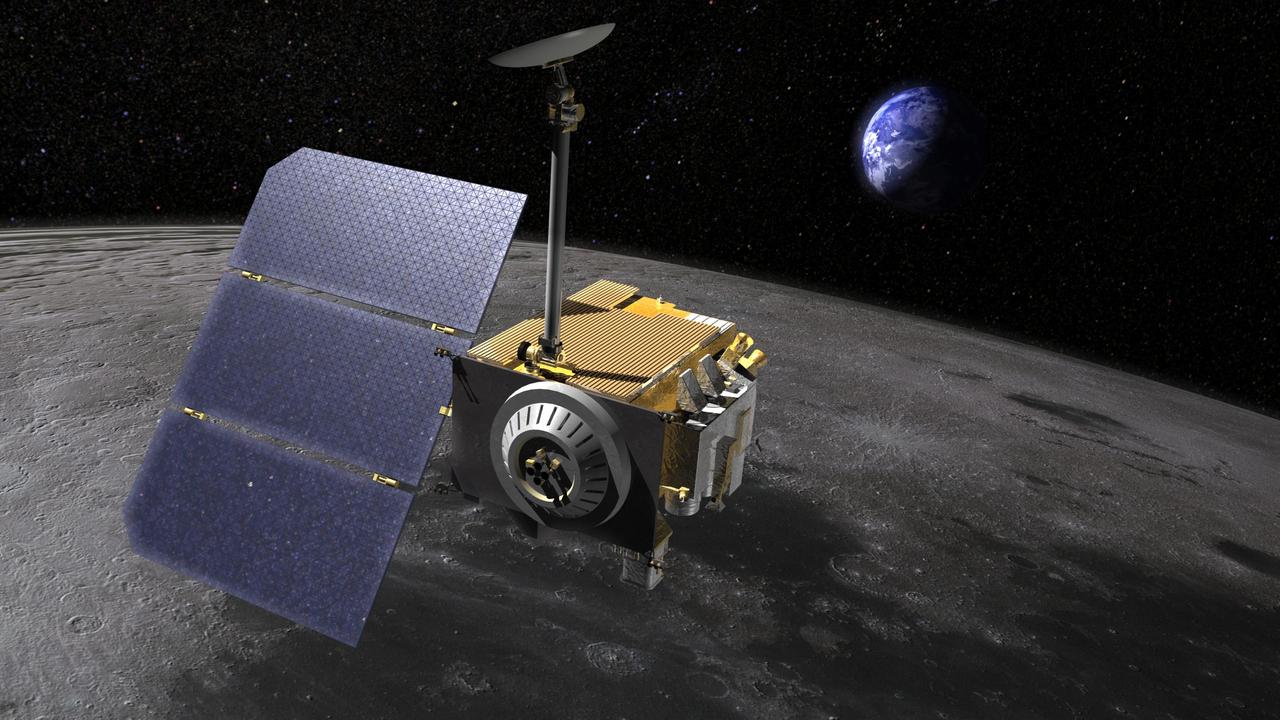
The scale is the headline number. According to NASA, the model was trained on approximately 2 million image tiles pulled from data gathered over 17 years by the Lunar Reconnaissance Orbiter (LRO), which has been circling the Moon since 2009. That figure breaks down into more than 1 million images from LRO's 1-meter-resolution camera — sharp enough to resolve individual boulders and small craters — plus roughly 964,000 images from a 100-meter-resolution multispectral instrument, which captures compositional information beyond what the eye or a standard camera would see.
NASA didn't stop at LRO. The training set also folds in data from GRAIL (the twin-spacecraft mission that mapped the Moon's gravity field), Lunar Prospector (an earlier orbiter that surveyed surface composition and resources), and imagery from JAXA's SELENE mission, Japan's lunar orbiter. Combining these sources means the model isn't just looking at pictures — it's been exposed to different measurement types covering the same terrain, which is part of what makes a "foundation" model different from a narrow image classifier.
The system was built by the Impact AI team at NASA's Marshall Space Flight Center, working with scientists in NASA's Science Mission Directorate Planetary Science Division, NASA's Goddard Space Flight Center, and NASA's Ames Research Center. IBM was a collaborative partner in developing and training the model, part of a broader AI-for-science push between the two organizations. NASA reports that the model matched or exceeded the performance of several other strong baseline models across all of its evaluation tasks, with the agency citing a particular advantage in estimating polar ice stability; one baseline named in NASA's materials is a model called ConvNeXt.
How Scientists Are Expected to Use It
A foundation model isn't meant to be used as-is for a specific scientific question. Instead, researchers fine-tune it — retraining a smaller portion of it on a narrower, labeled dataset — to specialize it for a particular task. NASA and outside coverage of the release point to several likely applications: mapping craters, identifying volcanic features, prospecting for ice deposits (a subject of intense interest given plans for sustained lunar surface operations), and geologic dating of terrain based on surface characteristics.
That combination of tasks is not random. Crater density is one of the primary tools planetary scientists use to estimate the age of a lunar surface, since more heavily cratered terrain has generally been exposed longer. Volcanic features help reconstruct the Moon's geologic history. And ice mapping has an obvious practical dimension: locating water ice, particularly in permanently shadowed polar craters, is a priority for future crewed missions that would need local resources rather than hauling everything from Earth.
"We also have to make data easier for scientists to explore and use," said Kevin Murphy, NASA's chief science data officer and acting chief data and AI officer, in the agency's announcement — a line that frames the release less as a single scientific achievement and more as an infrastructure investment: lowering the barrier for any researcher, inside or outside NASA, to work with the agency's accumulated lunar dataset.
Why It Matters
NASA's Artemis program is aimed at returning astronauts to the lunar surface and eventually sustaining a longer-term presence there, and that kind of program runs on maps — of terrain, of resources, of hazards. Manually cataloging craters and ice signatures across the Moon's roughly 38 million square kilometers of surface, using data collected over nearly two decades by multiple spacecraft, is a slow, labor-intensive process. A shared, open model that other researchers can fine-tune for their own narrow questions could meaningfully speed up that work, and because it's freely released rather than kept in-house, the benefit isn't limited to NASA's own scientists — university researchers, international partners, and independent analysts can all build on the same base.
It's also a signal of how planetary science generally is likely to be done going forward: instead of every mission or research group training bespoke models on their own slice of data, large general-purpose models trained on the full historical record become shared infrastructure, the way public data archives already are. Whether this particular model proves durably useful will depend on how well it performs once outside researchers start fine-tuning it for their own specific questions — something that will play out over the coming months as the broader planetary science community gets hands-on with it.