
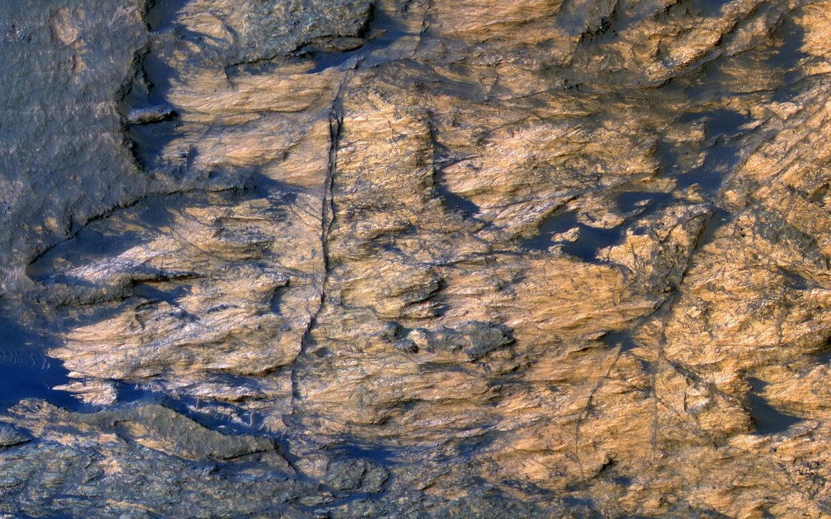
At first glance, the latest image from ESA's Mars Express looks less like a planetary surface than a piece of hammered metal — long, rippling waves that seem to catch and throw light, as if someone had rolled sheet steel across the floor of a Martian crater. The reality, once you unpack it, is more interesting than the sci-fi first impression: what the spacecraft's High Resolution Stereo Camera captured is a field of very dark sand dunes wearing a thin, uneven coat of bright frost. The "metal" is an accident of contrast, lighting, and season.
The setting is Kaiser Crater, a large impact basin roughly 180 kilometers across and a couple of kilometers deep, sitting in Noachis Terra — one of the oldest, most heavily cratered stretches of the Martian southern highlands. Mars Express has been orbiting the planet since 2003, and this is exactly the kind of scene its stereo camera was built to document: a landscape where geology, wind, and climate are all writing on the same page at once.
What you're actually looking at
Strip away the illusion and you have two ingredients. The first is dark sand. The dunes on the crater floor are built from basaltic grains rich in the minerals pyroxene and olivine — the same volcanic building blocks that give much of Mars its muted, iron-dark palette. These are not modest ripples, either. Some of the dunes rise more than 100 meters from base to crest, tall enough to swallow a 30-story building.
The second ingredient is frost. During the Martian southern winter, bright hoarfrost settles onto the landscape. It doesn't coat the dunes evenly. Instead, it clings preferentially to the southern faces — the flanks that stay coldest and most shadowed — while the opposite slopes stay dark. Set a bright, frost-dusted face next to a bare, near-black one, repeat that pairing across dune after dune, and the eye stitches the alternating light and dark bands into something that shimmers like brushed metal. There is no exotic mineral doing the work here; it's frost-on-basalt, lit at a low winter angle.
The dunes are a wind record
Dunes are among the best natural anemometers a planetary scientist has, because their shapes freeze the prevailing wind into place. Kaiser Crater's floor shows two classic forms. Barchans are the crescent-shaped dunes, horns pointing downwind, that form where sand is relatively scarce and the wind blows steadily from one direction. Transverse dunes are the long, roughly parallel ridges that build up where sand is more plentiful, lying broadside to the airflow. Both forms here point to the same conclusion: the dominant winds sculpting this crater floor blow predominantly from the west.
That's a small detail with outsized value. Reading wind direction off dune morphology lets researchers connect a specific crater's micro-climate to the broader circulation patterns of the Martian atmosphere, and to track whether and how those patterns shift with the seasons.
Clues to a wetter past
The dunes and frost are the present-day story. The crater walls tell an older one. ESA's imagery shows exposed clay minerals on the slopes — clays form in the presence of liquid water — alongside gullies carved into the crater walls. Together, those features point back to a Mars that was, at least episodically, far wetter than the frigid, thin-aired desert we see today. Whether the water came from buried groundwater reservoirs or later bursts of melting ice, the mineralogy and the erosional channels are physical evidence that liquid water once shaped this terrain.
It's a useful reminder that a single Mars Express frame is really several chapters stacked on top of one another: an ancient impact that dug the basin, a wet interval that altered its walls, and an ongoing, wind-and-frost-driven present that keeps rearranging the sand.
Why It Matters
Striking images do real scientific work when they're read carefully rather than just admired. The "metallic waves" of Kaiser Crater are a compact case study in how to interpret a planetary surface without being fooled by it. The frost pattern is a seasonal and thermal signal — it tells you which slopes stay coldest and how seasonal frost settles across the highlands each winter. The dune shapes are an atmospheric signal, pinning down local wind direction. And the clays and gullies are a climate-history signal, preserving evidence of water on a planet that is now bone-dry at the surface.
That layering is also why long-lived orbiters matter. Mars Express has been watching since 2003, and it's the accumulation of stereo imagery over many Martian years — the same terrain under different seasons and lighting — that lets scientists separate the permanent geology from the seasonal frosting. What looks like a one-off "sci-fi" photo is really one more entry in a decades-long observational record, the kind that turns a pretty picture into data about how Mars actually works.