
Every satellite you've ever heard of owes its sense of place to GPS. Point a receiver at the sky, triangulate signals from a handful of orbiting atomic clocks, and you know where you are to within a few meters. It's a remarkably good system — right up until you leave the neighborhood where GPS satellites broadcast, or until someone jams the signal. NASA's answer to that problem just had its first real flight test, and it doesn't involve GPS at all.
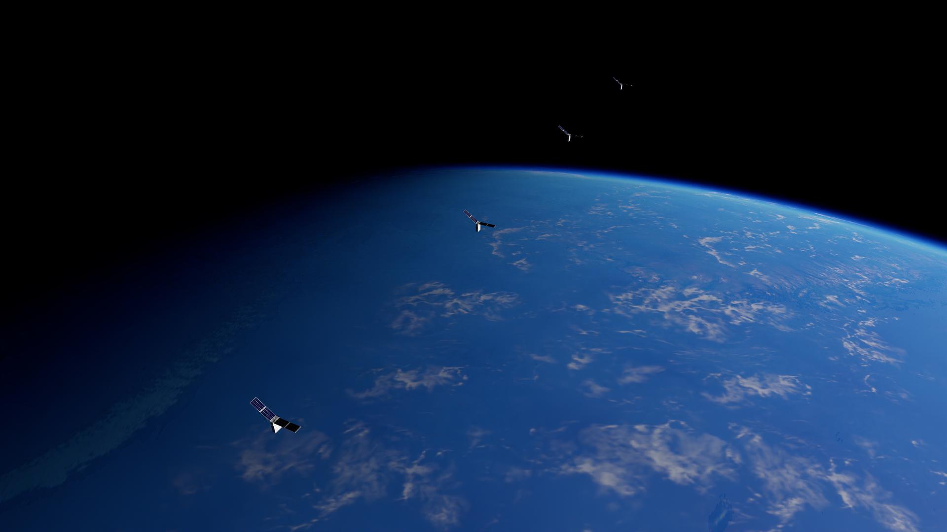
On August 17, 2026, NASA announced that its Starling mission — a swarm of small CubeSats already in low Earth orbit — had successfully demonstrated a navigation system called FALCON: Fast Autonomous Lost-in-space Catalog-based Optical Navigation. Rather than listening for satellite signals, FALCON has a spacecraft look outward, photograph whatever operational satellites and debris happen to be nearby, and compare what it sees against an onboard catalog of known objects. Match the sightings to the catalog, and the spacecraft can work out its own position and timing — no ground station, no GPS constellation required.
How Do You Navigate By Looking at Junk?
The core idea, as described on the project page maintained by Stanford's Space Rendezvous Laboratory, is closer to old-school celestial navigation than to anything GPS-like. Instead of measuring distances to reference beacons, FALCON measures bearing angles — the direction a spacecraft has to look to see a particular resident space object, whether that's a working satellite or a piece of debris. Feed enough of those bearing angles into an algorithm that already knows where those objects are supposed to be, and the software can solve for where the observing spacecraft itself must be sitting. It's the "lost in space" problem: figure out your position with no prior estimate, using only what's visible around you.
What makes the demonstration notable is that it didn't require new hardware. FALCON ran on Starling's existing star-tracker cameras — instruments already on board for the mundane job of figuring out which way the spacecraft is pointed by looking at background stars. The flight software doing the heavy lifting, called Era-Core, comes from EraDrive, a startup spun out of Stanford. According to trade coverage from SatNews, the demo was a joint NASA/EraDrive experiment, with EraDrive's software integrated directly into the CubeSats' existing optical sensors rather than bolted on as separate equipment.
Why It Matters
GPS is an Earth-centric system. Its signal coverage was built for aircraft, ships, and terrestrial receivers, and while some spacecraft in low and even geostationary orbit can pick up usable GPS signals, the further out you go, the weaker and less reliable that coverage gets. Past the Moon, GPS is essentially useless. Any mission that wants to operate autonomously in cislunar space or deep space — without waiting minutes or hours for a ground station to compute and uplink a position fix — needs another way to know where it is.
That's precisely the gap NASA says FALCON is aimed at. In its announcement, the agency pointed to future lunar satellite constellations, cislunar logistics missions, and distributed deep-space science swarms as the intended beneficiaries. All three scenarios share a common headache: multiple spacecraft operating far from Earth, potentially with limited or delayed ground contact, that need to know their relative and absolute positions well enough to maintain formation, avoid collisions, or coordinate observations. A navigation system that only needs a camera and a catalog — rather than a dedicated positioning infrastructure like GPS — sidesteps that problem for any region of space where enough tracked objects are visible.
There's also a resilience angle. GPS signals can be jammed, spoofed, or simply unavailable, and ground-based tracking depends on maintaining contact with stations that aren't always in view. A swarm that can independently reconstruct its own position from what its cameras already see is a swarm that can keep operating through gaps in communication or hostile interference — a property that could matter for national-security payloads as much as it does for scientific ones, though NASA's announcement was framed around civil and science applications rather than defense use.
A Small Swarm Doing Big-Mission Homework
Starling itself is a technology-demonstration mission, not a science mission — its whole purpose is to let NASA try out the kind of autonomous, distributed operations that future multi-spacecraft missions will need, using a handful of relatively cheap CubeSats as guinea pigs. FALCON fits that mandate well: it's a low-risk way to validate a navigation concept using satellites and debris NASA already tracks in Earth orbit, before anyone commits it to a mission where a lunar constellation or a cislunar logistics fleet is depending on it working correctly the first time.
The Stanford connection is worth noting too. The Space Rendezvous Laboratory's involvement — and EraDrive's origin as a Stanford spinoff — reflects a pattern common in NASA technology-demonstration work: university research on optical navigation and rendezvous techniques maturing into flight software through a startup, then getting validated on an actual NASA platform. It's a fairly standard technology-transfer pipeline, but the fact that it reached orbit and produced a working demonstration in this case is the actual news, as opposed to a lab result or a simulation.
None of this means GPS is going away for satellites that can use it — for missions in Earth orbit, GPS remains simpler and NASA hasn't suggested otherwise. What FALCON demonstrates is an option for the growing list of missions that GPS was never built to serve: swarms and constellations operating around the Moon, in transit through cislunar space, or scattered across deep space, where the only reliable reference points are the objects a spacecraft can see for itself.